When experiencing a cyclone, Queenslanders should visit the Disaster Management Queensland webpage for information about conditions in your local area (flooding, road closures, weather warnings, school closures, emergency contact details).
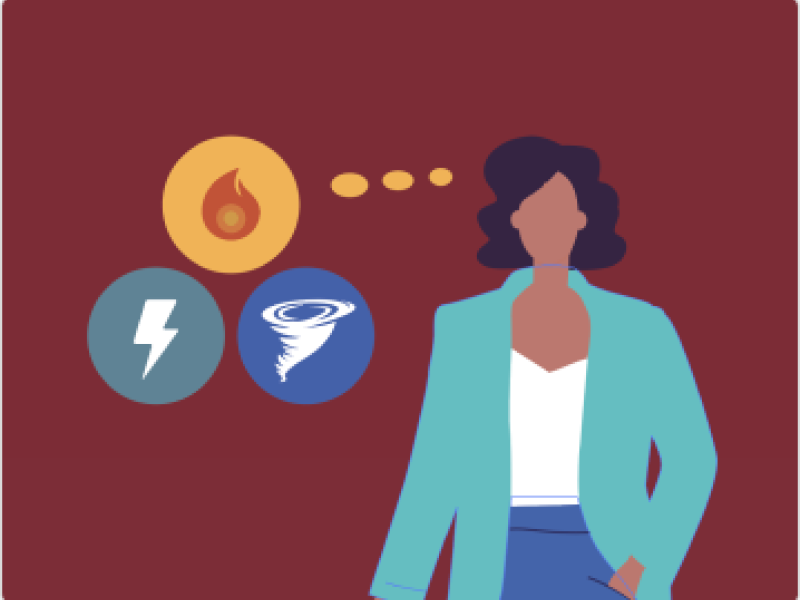
What is a tropical cyclone?Tropical cyclones (TCs) are low-pressure systems that develop over the warm oceans off the northern coasts of Australia. TCs can produce very strong winds, storm surges, heavy rainfall, and flooding. The severity of a TC is described using a five-category system based on the strongest wind speeds near the centre of the cyclone. | ||||||||||||||||||
What are the wind speeds for each cyclone category?
As a cyclone moves inland, its strongest winds weaken. Winds near the eye usually decrease once the cyclone moves over land, and winds are weaker the further you are from the centre. Even after a cyclone is downgraded, some areas can still experience damaging winds and heavy rainfall.  | ||||||||||||||||||
What kind of damage can be expected from a tropical cyclone?Cyclones can cause serious damage. Strong winds can damage homes and buildings, especially those that are older, poorly maintained, or in exposed locations. Common damage includes:
Coastal properties may also be damaged by large waves, debris, and erosion, which can expose building foundations. | ||||||||||||||||||
What is the difference between a cyclone, storm surge, and storm tide?A cyclone is a powerful weather system with strong winds, heavy rain, and flooding, which can cause significant damage. A storm surge is a rise in water levels along the coast due to strong winds and low pressure. A storm tide combines the storm surge with normal tidal movements. The most dangerous impacts occur when the storm surge coincides with a high tide. | ||||||||||||||||||
How much notice will be provided ahead of a tropical cyclone?The Bureau of Meteorology will issue a Tropical Cyclone Advice when a tropical cyclone is likely to cause gale-force winds or stronger within the next 48 hours. This lets people know when and how they may be affected. This includes:
| ||||||||||||||||||
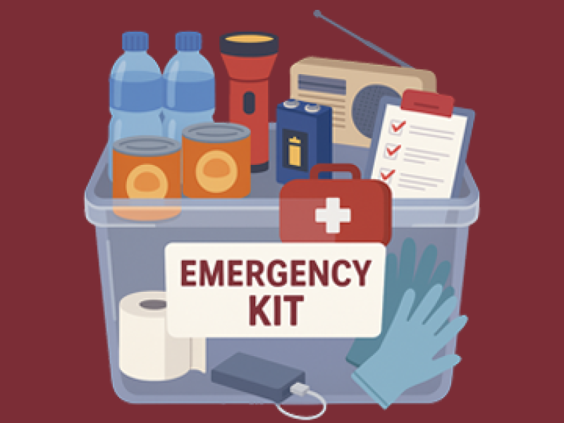
What should I do if a tropical cyclone is approaching?Stay informed and follow official warnings from the Bureau of Meteorology and local authorities. Have an emergency plan, pack an emergency kit, and know your evacuation routes. Trust only reliable sources for updates and avoid rumours. | ||||||||||||||||||
How can I receive severe weather alerts in Queensland?For official weather updates, visit the Bureau of Meteorology’s Severe Weather Warnings page. You can also check your local council’s disaster dashboard through the Get Ready Queensland website for local alerts and information. | ||||||||||||||||||
What items should I include in my emergency kit for severe weather events?
| ||||||||||||||||||
What is a storm surge, and will I be impacted?A storm surge is when sea levels rise higher than normal during a storm or cyclone. This happens mainly because strong winds push ocean water toward the shore, causing water to pile up along the coast. Storm surges can lead to serious coastal flooding, especially in low-lying coastal areas. They often affect estuaries, bays, and communities with coastal infrastructure that isn’t well protected, such as roads, homes, and ports. If you live near the coast or close to waterways connected to the sea, you may be more likely to feel the impacts. Links for guidance on getting prepared for cyclones and storm surges: | ||||||||||||||||||
What should I do to prepare my home for a cyclone or severe storm?
| ||||||||||||||||||
Should I tape up my windows?
| ||||||||||||||||||
There’s plenty of advice on social media, but how do I know what’s most effective for preparing my windows?When preparing your windows for a cyclone, don’t tape an X on them — it can make dangerous glass shards if the window breaks. Instead, attach plastic sheeting or strong tape along the edges of the window frame to help keep wind-driven rain out. If possible, board up windows for extra protection and close curtains or shutters for added safety. Always stay indoors and shelter in a room away from windows to reduce the risk of injury. | ||||||||||||||||||
Why are we being told to fill up our bathtubs?You’re asked to fill your bathtub before a severe storm because after the event, services like water and electricity might be disrupted, and tap water may not be safe to drink. Having water stored lets you do essential things like flushing the toilet, boiling water for drinks, or even giving pets water if the supply is cut off. If you don’t have a bathtub or it’s unsafe to fill it (for example, if you have young children), you can fill sinks and buckets instead. | ||||||||||||||||||
When will we know if evacuation centres are activated?Councils will let people know when evacuation centres are open through their disaster dashboards. If your council hasn’t shared information yet, they are still working to find the safest places to set up centres. These centres are usually in areas that won’t be affected by the storm, so details might not be available early. Keep up to date by checking your local council’s disaster dashboard, social media pages, and other official channels. | ||||||||||||||||||
I am a tourist, where can I find information?Visitors should check Get Ready Queensland's visitor safety tips for guidance on what to do, who to contact, and where to go during severe weather. | ||||||||||||||||||
I have health conditions; how should I prepare?Hospitals and emergency departments will operate as usual, unless they are at risk.
For more information on accessibility and safety during severe weather, please visit Get Ready Queensland's Accessibility and Safety Guide. | ||||||||||||||||||
I am a building manager, how should I prepare the residents and workers in the building I manage?Before a cyclone or severe storm, building managers can take steps to keep residents safe and reduce damage:
| ||||||||||||||||||
I own a business. How should I prepare for a cyclone?
| ||||||||||||||||||
Is there any support for the homeless?The Department of Housing and Public Works’ Critical Response Team (CRT) conducts outreach alongside funded specialist homelessness services to known homelessness hotspots to provide people with information, advice, and access to safer accommodation. Anyone requiring access to housing please call the Homeless Hotline on 1800 474 753. | ||||||||||||||||||
Where can elderly parents, grandparents, or neighbours get support if they need to evacuate?Here are some tips to support elderly individuals during a disaster, along with key contact numbers:
| ||||||||||||||||||
Helpful Contact Numbers —
| ||||||||||||||||||
I'm struggling to find stock at the supermarket, what should I do?Supermarkets monitor supply and demand and work to keep shelves stocked, even if deliveries are sometimes delayed by severe weather. If a cyclone or flood occurs, restocking resumes as soon as it is safe. To help the community, only purchase what you need so everyone has access to essentials. If flooding isolates your area, the local council can provide emergency supplies such as food, milk, medicine, and hygiene items for several days. For more information on requesting a resupply, visit: Resupply for Flood-Isolated Properties | ||||||||||||||||||
How do we find out about school closures?For school closure updates, visit closures.qld.edu.au Information on student absences due to natural disasters and emergencies can be found at closures.qld.edu.au | ||||||||||||||||||
Where do I find tips on preparing for my pets, and what about wildlife?PetsGet Ready Queensland partnered with the RSPCA in 2023 to create a Pet Emergency Plan, a valuable resource to help pet owners prepare for disasters. It helps pet owners get ready for disasters, including how to evacuate safely and keep pets calm during severe weather. Check it out to make sure your pets are included in your emergency plans. WildlifeCyclones can hurt wildlife through strong winds, flooding, and storm surges. Animals may get lost, injured, or displaced. If you come across stranded or injured native wildlife, please contact the RSPCA at 1300 ANIMAL (1300 264 625) for immediate guidance on how to help. There are volunteer wildlife organisations that operate in Southeast Queensland servicing most regions. If you're stuck, try a quick Google search for your local wildlife rescue hotline. | ||||||||||||||||||
Will public transport services be affected?Check your local public transport organisation for updates on public transport. | ||||||||||||||||||
What should I do with my car if I don’t have a garage or carport?
| ||||||||||||||||||
I rely on home oxygen, what should I do if the power goes out?
| ||||||||||||||||||
Where should I place sandbags to prevent backflow of sewerage/grey water in my home?Sandbags should be placed over floor wastes and drains (e.g. laundry, shower, and bath) to prevent backflow. To block toilets, use a small plastic bag filled with sand, weighed down by a larger sandbag. Visit Get Ready Queensland's Tips for Sandbagging for more info. | ||||||||||||||||||
Does Energex turn off the power in a cyclone, or are we supposed to?Energex will issue official communications and updates on the Energex Facebook page. | ||||||||||||||||||
How do I get help?For urgent assistance —
For non-life threatening requests —
Housing maintenance —For non-urgent maintenance requests, you can submit a request using the Tenant Assist Qld app or submit an online maintenance request. For a detailed list of Queensland emergency contacts, see here. | ||||||||||||||||||
Where to find the most up to date information?Disaster Management Queensland WebpageQueenslanders should visit the Disaster Management Queensland webpage for information about conditions in your local area (flooding, road closures, weather warnings, school closures and emergency contact details). Bureau of MeteorologyThe Bureau of Meteorology (BoM) is the trusted source for forecasts and warnings about cyclones, strong winds, and heavy rainfall. Get official forecasts, warnings, and alerts to stay informed and safe. The BoM website works best in Firefox or Google Chrome, both of which are free to download from the app store. You can also download the BoM Weather App to receive updates on your phone. For instructions, visit the BOM Weather App Notifications page. Check the latest updates anytime at www.bom.gov.au. Council Disaster Dashboards: Your go-to guide for local updatesYour council’s disaster dashboard provides real-time updates on evacuation centres and their locations, impacted council services, sandbag collection points and stock, and local support and resources. Check it regularly to stay prepared and make safer decisions. Find your council’s dashboard here. Local ABC RadioYou can stay informed with regular updates by tuning in to your local ABC Radio station.. | ||||||||||||||||||
My ceiling is leaking, what should I do?If you notice water leaking from your ceiling, follow these steps to stay safe and limit damage:
Need Help? Contact the SES for assistance on 132 500. | ||||||||||||||||||
I've seen a flood warning issued by the Bureau – what should I do?Preparing for Flooding
| ||||||||||||||||||
My property was damaged by destructive wind gusts, and now I'm facing flooding – what should I do next?Prioritise safety
Roof damage
Financial help and other support services
Emotional support
|